eNVIRONMENTAL
iMPACT Studies
Bringing low impact development together with environmental sustainability.
If you are planning a development project, a building expansion, or a property severance in Ontario, you will often find yourself facing a strict regulatory hurdle: a formal request for an Environmental Impact Study (EIS).
What is an EIS?
An Environmental Impact Study (EIS) is a formal environmental report required by local municipalities and conservation authorities—like Saugeen Conservation—before you can approve a property severance, zoning change, or building permit near sensitive natural areas. Instead of treating your land like a blank canvas, an EIS acts as a site diagnostic that inventories local plants, wildlife, and water flows to see how your construction plans will interact with the surrounding ecosystem.
The final study maps out practical, common-sense solutions to minimize construction footprints, protect regional biodiversity, and satisfy local planning policies. Ultimately, it gives municipal boards the scientific proof they need to green-light your permits, ensuring your project runs smoothly while actively balancing local growth with environmental care.
If you need an Environmental Impact Assessment, that is a whole other thing you can find out more about here.
Cumulative impact
·
collaboration with experts
·
timely delivery
·
Cumulative impact · collaboration with experts · timely delivery ·
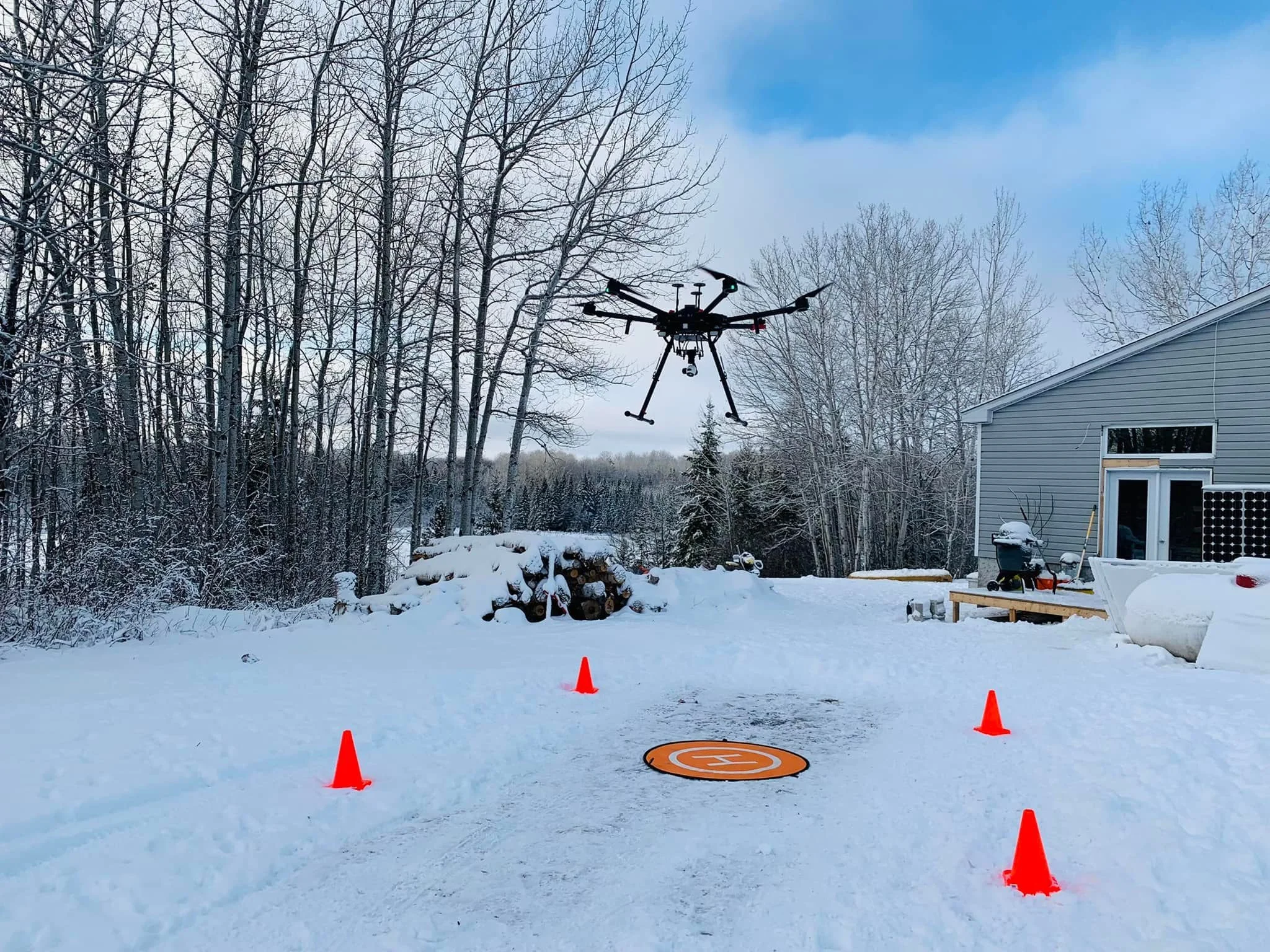
Green Feet Ecosystem Services takes takes the frustration out of the paperwork. We guide you through local conservation authority and municipal planning requirements from start to finish.
Operating heavily across the Saugeen Ojibway Nation, Bruce County, Saugeen Shores, Port Elgin, Tiverton, and Grey County’s Owen Sound, we don't just file compliance checklists. We combine thoughtful planning and advanced assessments and analytics with a multi-disciplinary network of experts to turn a standard regulatory hurdle into an EIS report that focuses on Low Impact and Sustainable Development.
our approach
We have evolved the standard EIS framework to reflect the realities of modern regional land use, Indigenous policy, and ecological economics
Book an appointment
-
Green Feet assesses the cumulative impacts—evaluating how your development interacts with compounding regional canopy loss, changing subwatershed stormwater runoff, and long-term climate risks. This protects your project from future liability.
-
We reject superficial, checkbox-style community engagement. We weave a profound respect for Treaty rights and local values directly into our initial scoping. By protecting Indigenous data sovereignty and building proactive alignment, we build community relationships along a common goal of protecting ecosystems for future generations.
-
Nature provides highly valuable, free green infrastructure—from flood mitigation to micro-climate cooling. Using advanced value-transfer methodologies, we calculate the actual dollar value of the ecosystem services active on your site. We show you how preserving an intact wetland corridor or mature canopy can save you thousands in engineered concrete stormwater infrastructure.
-
We operate on a collaborative fieldwork Model. We assemble a custom, multi-disciplinary task force composed of independent experts from different specialized organizations. We co-create our studies by physically sharing the fieldwork alongside trusted regional botanists, geomatics engineers, professional hydrologists, and Indigenous land stewards. True land stewardship requires a community of minds. By sharing the field with specialized experts from across different sectors, we ensure our assessments are rooted in undisputed scientific accuracy and practical, real-world viability.
Our Process
-

Phase 1: Project Initiation
Desktop screening, drafting ToR with authorities, agency correspondence, and pre-consultation coordination.
-
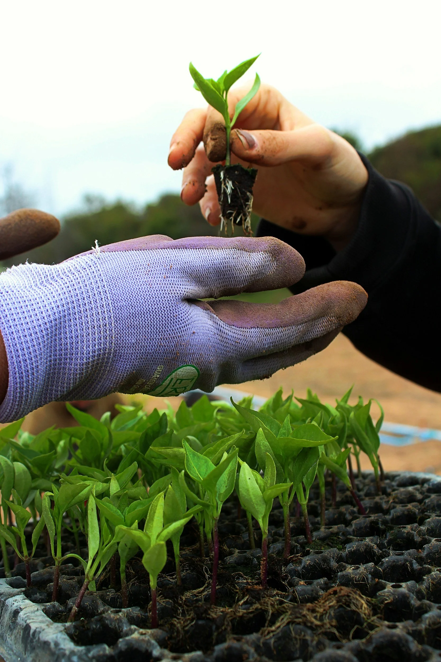
Phase 2: Field Investigations
Whether its an arborist, a surveyor, or a biologist, we have qualified experts across all fields through our extensive collaborative networks.
-
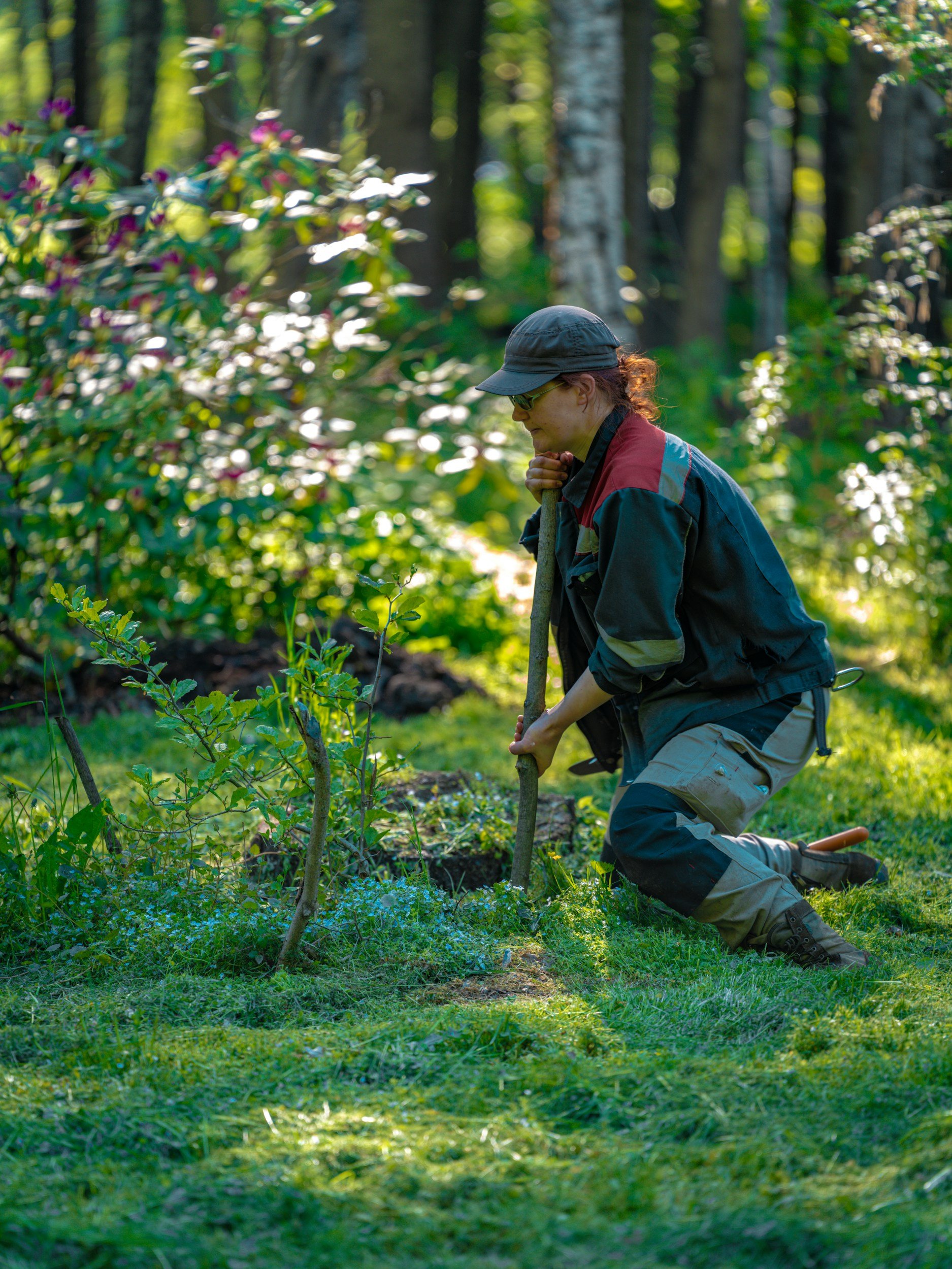
Phase 3: Analysis and report writing
GIS map production (Constraint & Site Plan overlays), policy review, ecological valuation, mitigation measure design, and final report compiling
-
Phase 4: Post-Submission & Review
Between your site and the review process, we operate as an independent 3rd party that keeps the project moving by responding to changes or additional details required by reviewers.
Let’s get started!