AERIAL SERVICES
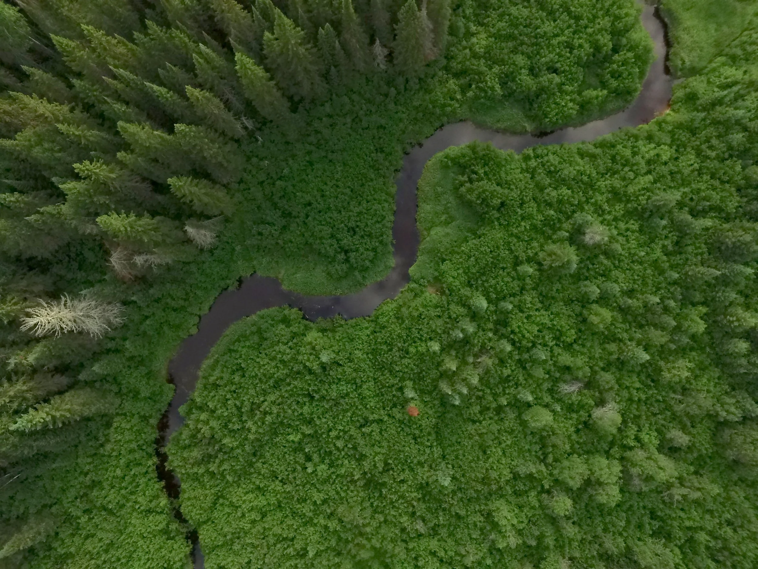
EYES IN THE SKY
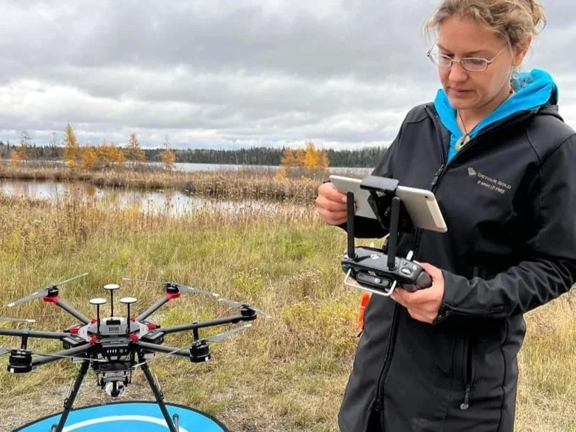
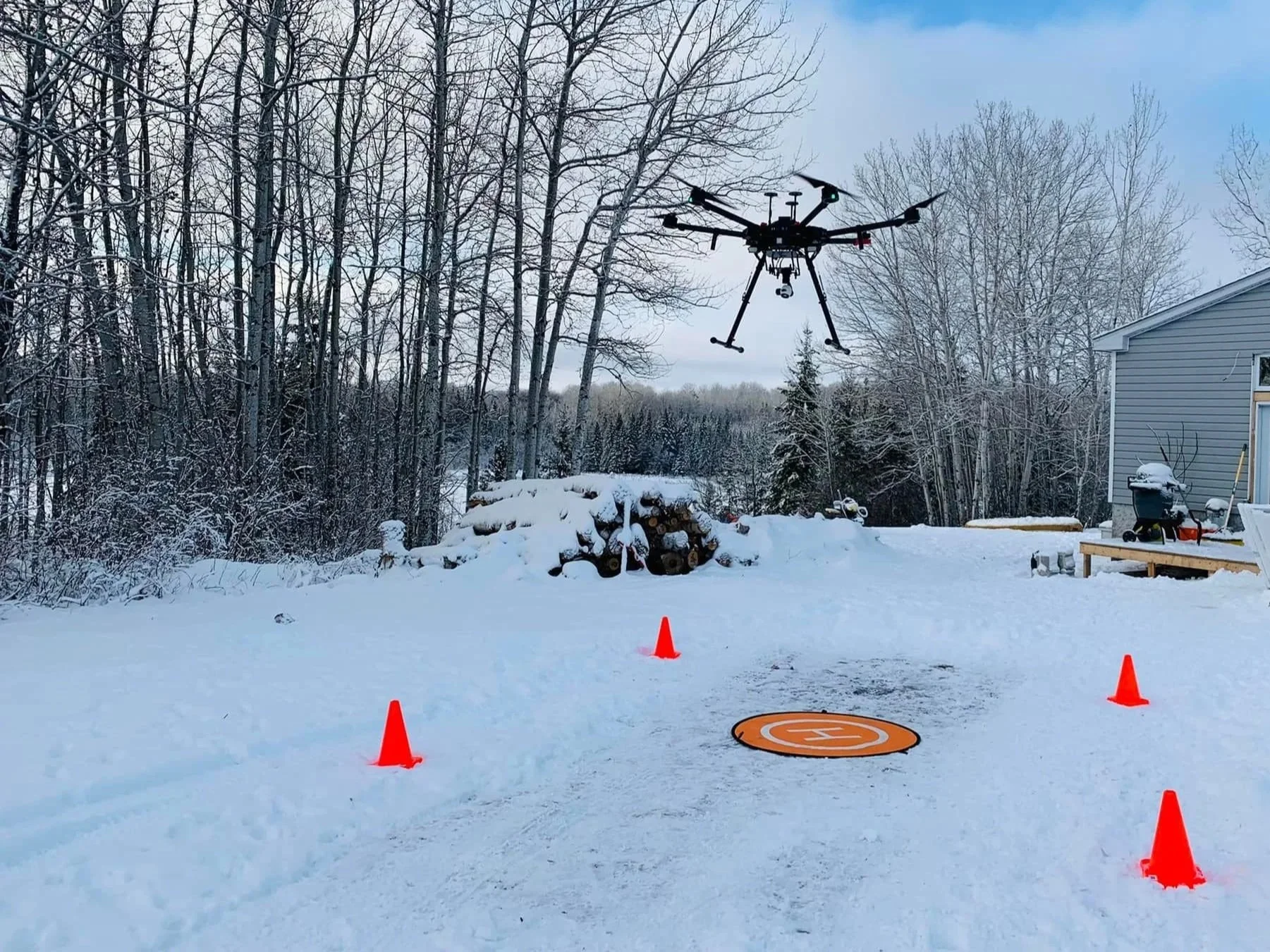
Green Feet specializes in Technology Stewardship in our use of drones and remote sensing data to capture valuable, visual, and scientifically accurate insights toward understanding, protecting and restoring ecosystems. At the root of our work with technology is a commitment to ensuring that:
We guide its use towards beneficial ends
It is environmentally sustainable
Its use is not negatively disruptive or harmful
and it is used in a way that ensures equity, diversion, inclusion, and safe use.
This allows us to provide you with the highest integrity of cutting-edge information about your land, which in turn helps you to make better management decisions, communicate the benefits of ecosystems to your area, and better monitor and protect your space.
Generally, our aerial imagery & analysis services come in 3 forms:

Involves creating communication materials using unmodified, unaltered, or ‘raw’ visual/video imagery. This can be applied to a limited number of sensors, including Red/ Green/ Blue sensors (RGB), and thermal sensors.
Basic Visual Imagery (BVI)
General Analytics (GA)
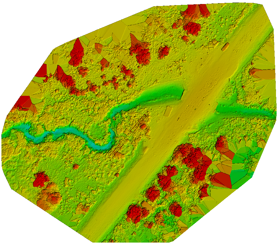
Involves creating communication materials from data collected using UAV sensors. These are automatically or manually processed using computer software that does not require software manipulation through machine learning/AI/training. By this definition, all sensor types are included, including sensor types requiring more sophisticated forms of computer processing (ie. hyper-spectral sensors, and LIDAR sensors).
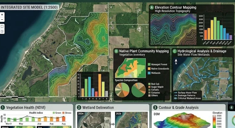
Involves creating communication materials using data collected through UAV sensors, as well as supplementary information, additional imagery, or relevant spatial data (including ground-truthed data). The process also includes applications that require manipulation of software operations where sensory imagery is coupled with machine learning/training approaches or algorithm development.
Advanced Analytics (AA)
Our PACKAGES
Here are some examples of aerial service packages available to our clients. These typically include a combination of aerial imagery and analysis forms mentioned above, and can be customized for every project.
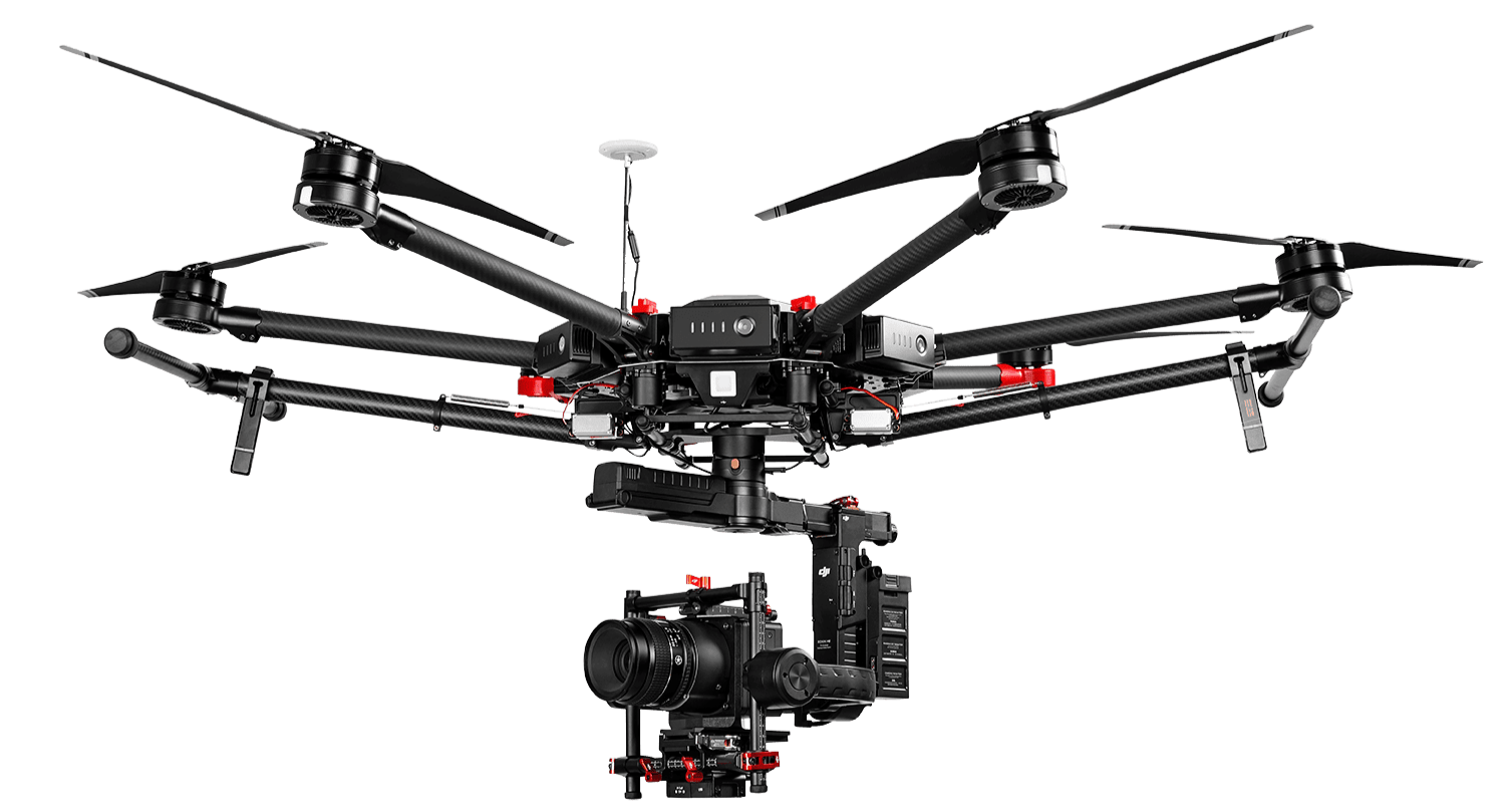
-
These are for more short-term projects, and are our most common request. (+ examples)
Videos and photos of onsite ecosystem services (BVI)
3D Models (GA)
Surface Modeling (GA)
-
With a little more time, we’re able to step it up to provide you with more data. (+ Examples)
Time-lapse of site (BVI)
Continuous Assessments (ALL)
Specific ES Evaluations (AA)
-
If you have a really big project, or are really trying to obtain a much deeper knowledge of your land, this is for the serious environmentalists out there. (+ Examples)
Value-based ecological monitoring and protection (AA)
Proof of concept, piloting and promotional support (ALL)
Capturing use of sites, interactions, activities (BVI)
Our KEY ADVANTAGE: Technology StewARDSHIP
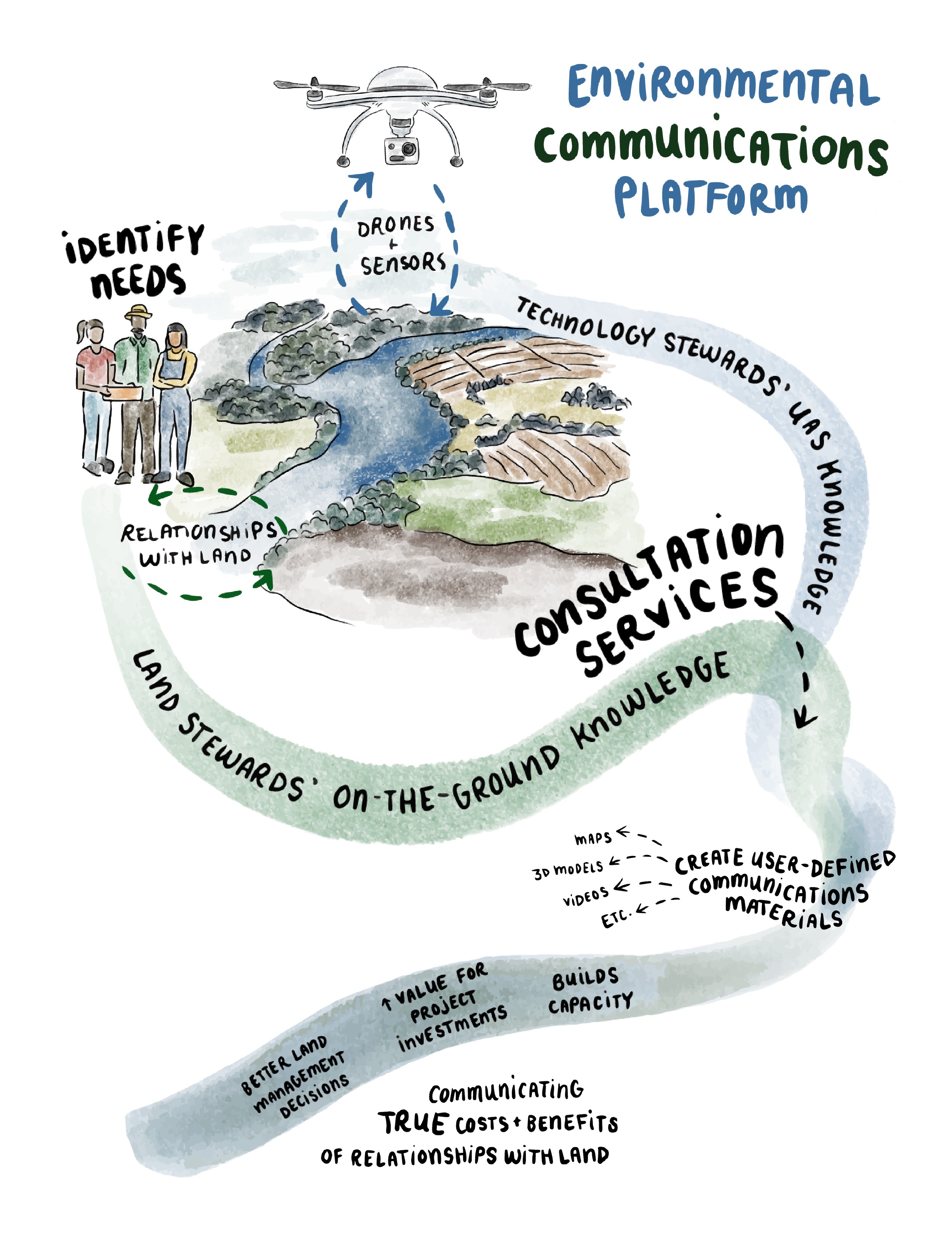
Over time, and after years of inter-university research, we developed a set of steps to help strengthen the engagement and communication abilities of land stewards. We combined consultation services with drone technology into a unique system named the D3 Process for its use of Drones, Data & Deep Communication.
This three-phase approach weaves together the expertise of land stewards with environmental professionals, researchers, technologists, and geo-technicians to create custom communication materials such as maps, 3D models, videos and data reports. These can then be used to achieve ecosystem protection and restoration goals on the ground.
This proprietary approach helps our clients better understand and protect their land as well as their relationship with ecosystem services. Its integration into our aerial services is what sets us apart as we continue to prioritize braiding unoccupied aerial systems data and land knowledge together.
COSTS & BOOKING

Our costs are transparent. Our current pricing for aerial imagery and analysis services is based on providing our clients with flexible and affordable options that are competitively priced for returning state-of-the-art deliverables. We also work on a project-by-project basis to support stewardship activities through existing programs for funding (e.g. grant applications often available to farmers and Indigenous communities). Here’s how we break it down:
PRICING STRUCTURES
2. Proportional Project Fees (Percentage-Based)
For large-scale, complex, or multi-year initiatives that require continuous oversight, regular site visits, and ongoing expert evaluation, we move away from hourly billing. Instead, our involvement is charged proportionally as a percentage of the total project cost.
This guarantees our "minds at work" are accessible to your team throughout the entire lifecycle.
Multi-year projects
Include:
Baseline aerial data collection
Regular, ongoing site visits and ecological evaluations
Project continuity across changing seasons
Continuous expert communication, consultations, and meetings
Continuous Communication Flow
Within the flat fee, communication channels remain open for the entire duration of the contract. You are not billed per email, phone call, or emergency meeting. This allows for fluid collaboration with our clients.
Mandatory Year 1 Foundation
Every multi-year project requires a Phase 1 UAS (Unmanned Aircraft System) Communications Plan to be completed during the first year (included within negotiated costs). This sets the spatial, ecological, and communications baseline for the entire project, guards against scope creep, and ensures a project team are on the same page, including:
Baseline project scoping
Creation of the foundational project roadmap
Required for long-term planning and scheduling
Advanced Analysis Note: While the baseline flight and planning layout are included in costing, highly specialized advanced analysis services (such as micro-topography modeling, comprehensive drainage mapping, or deep GIS data integration) are available as an additional cost based on your specific reporting requirements.
1. HOURLY/ DAILY RATES:
Every piece of land is unique, and drone work can get complicated fast. We believe in being flexible because you are the expert on your own land!
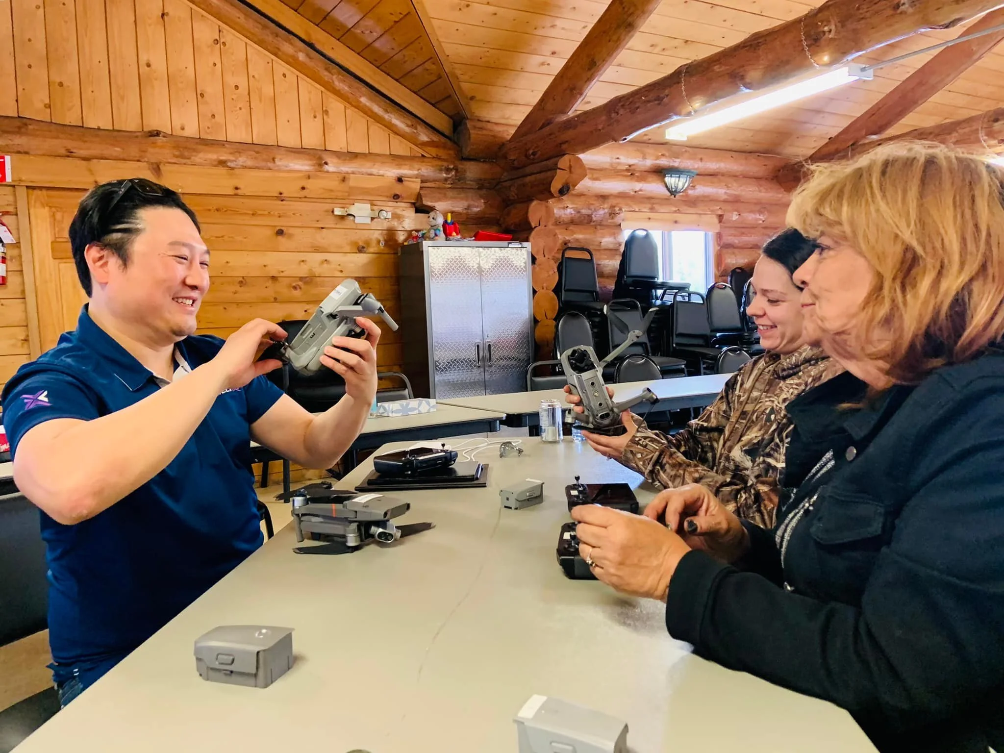
We want to give you options that work around your specific skill sets and knowledge base. Think about your project needs and how hands-on you want to be with the sensory and visual data our drones collect. We are entirely happy to collaborate with you to provide exactly the deliverables you request—and if you want to take on certain steps yourself, we don't mind at all if you prefer to process your own imagery and data! We are here to guide you as much or as little as you need.
Our Standard Rates
For standalone, project-by-project contracts, we offer straightforward hourly or daily rates depending on the size and complexity of your site:
Hourly Rate: $150 to $450 / hour (Best for short flights, targeted site checks, or focused consulting)
Daily Rate: $1,800 to $2,800 / day (Based on a standard 7-hour day; best for large acreage mapping or extensive site analysis)
Choose Your Data Delivery Style
We adapt our deliverables to match your technical comfort level and workflow:
Option A: Raw Data Delivery (You Process) If you have the software and the know-how to handle your own imagery, we will handle the flight and deliver the high-quality raw data files directly to you. No extra processing fees.
Option B: Guided Collaboration (We Help) If you want to try processing or analyzing the data yourself but need a little guidance navigating the software or interpreting the maps, our "minds at work" are available to coach you through the process.
Option C: Full Service (We Deliver the Answers) If you prefer to leave the tech to us, we will handle the flight, process the imagery, and hand you a clean, finalized, compliance-ready report. (*additional cost)
The Bottom Line: We work with you, not just for you. Let us know how you want to handle your project's visual data, and we will build a scope of work that fits your budget and your team's capabilities perfectly

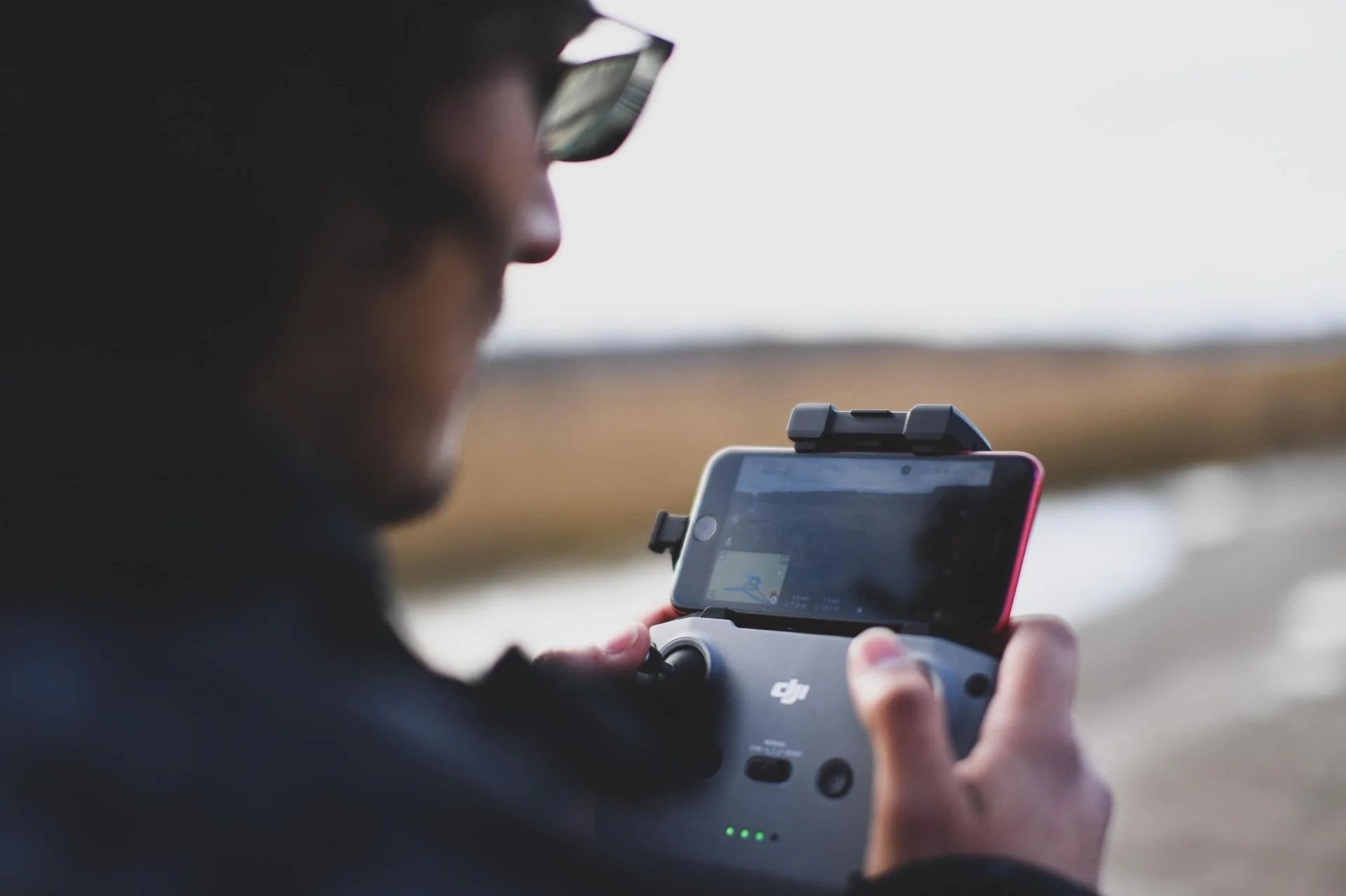


Whether you’re looking for support or starting from scratch - we can help! Contact us today to learn how we can best serve you.