Explore our featured projects
Explore our featured projects
Driven by a curiosity to explore new approaches and build with purpose, these feature projects are examples of where the bold thinking of many has met thoughtful creation in the real world.
Each example is meaningful work to us which highlights the ground-up innovation in braiding knowledge that is the signature of the Green Feet’s work.
project support
See our minds at work
Pine River Watershed Initiative Network, Integrated Watershed Management Plan
The PRWIN has the vision for a "Clean water and a healthy ecosystem within the Pine River Watershed”. In order to collaborate across multiple directives, organizations, and approaches, and Integrated approach was required for the watershed. This meant everyone working together.
The Pine River watershed had been marked as one of 6 of Environment Canadas Top Priority Areas for watershed health due to agriculture, deforestation and cottaging industries
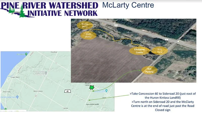
Thanks to the dedication and commitment of its board members, as well as the remarkable leadership and vision of its Project Coordinator, Green Feet was honored to be able to incorporate Analog Forestry into their Integrated Watershed Management Plan. This single organization has now planted a diversity of 15+ different species of over 375,000 trees and counting across this 200+ square km watershed area.
CRITICAL RELATIONSHIPS PROJECT , Tahltan Nation territory, British Columbia, Canada
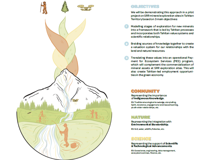
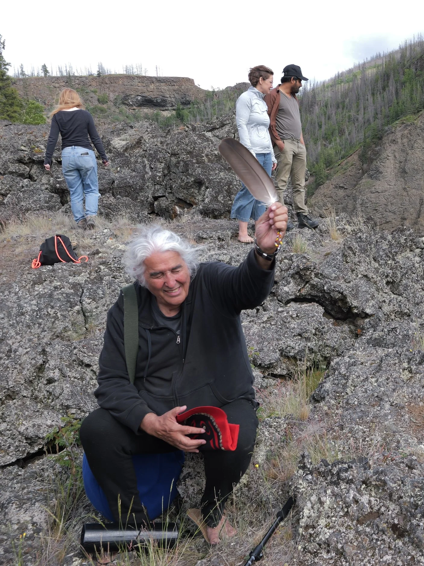
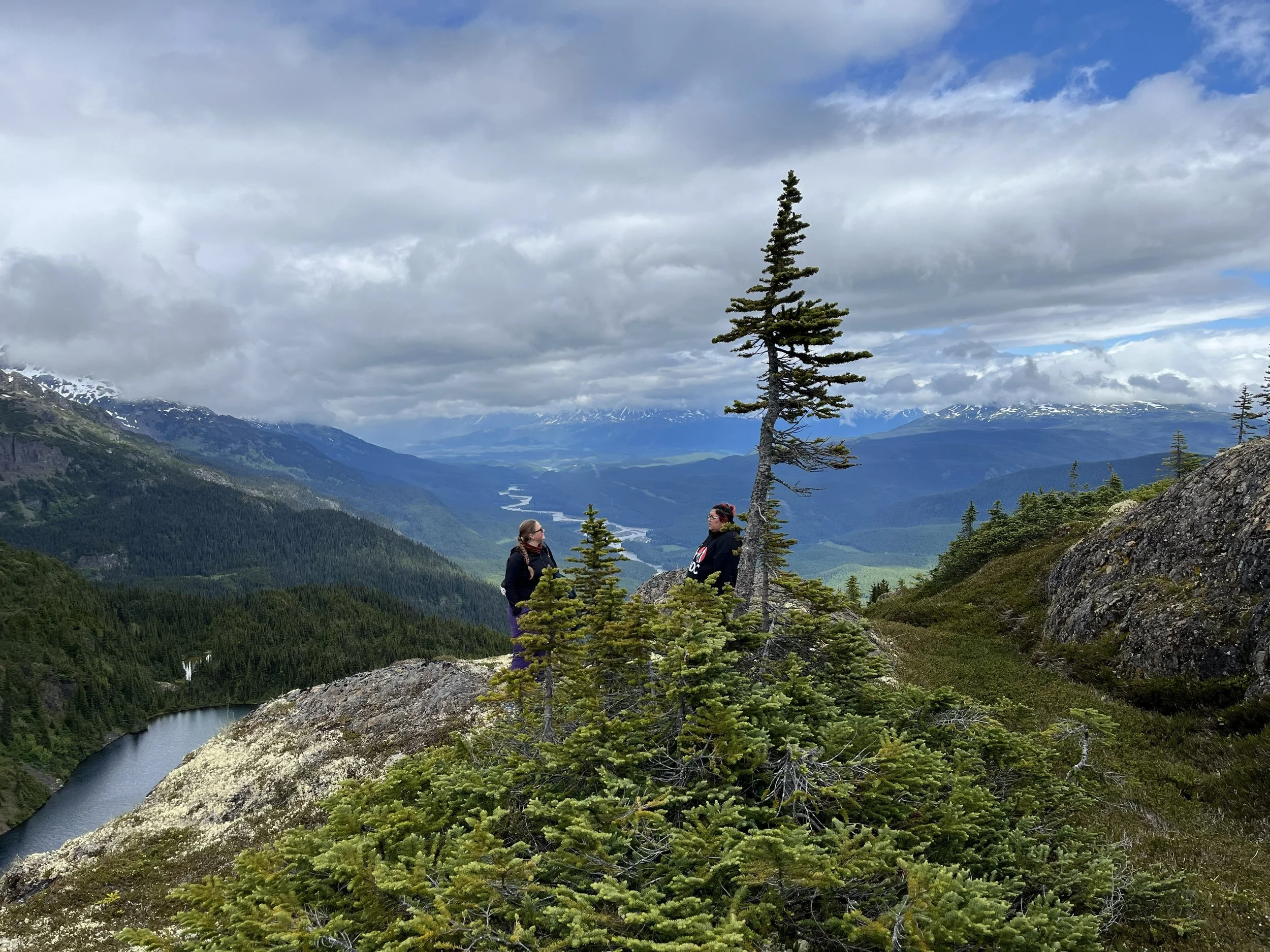
Green Feet Ecosystem Services is a core collaborative partner with the Global Indigenous Development Trust and members of the Tahltan Nation in the development of the groundbreaking Critical Relationships Project.
This initiative co-created an Indigenous framework adjacent to NRCAN’s Critical Mineral Strategy that re-imagines mineral exploration as stewardship, with the first steps in the mining life cycle beginning through a lens of Indigenous governance, ancestral knowledge systems, stewardship and true-value Natural Capital accounting. Piloted on active mineral claim sites of Spirit Rock Resources - the worlds first Indigenous initiated, owned, and developed mining operation - for the 95,000km² of Tahltan Territory in Northwestern British Columbia, the framework braids Indigenous ways of knowing with Western science .
Aerial imagery and analysis
SEE OUR EYES IN THE SKY AT WORK
Eagle eye UAS Project, Bruce County, Ontario, Canada
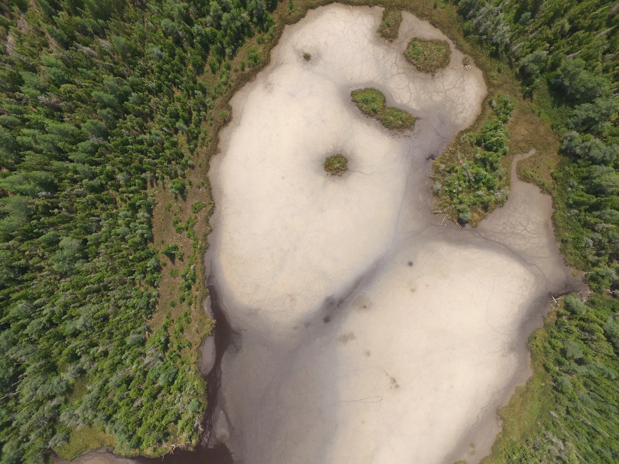
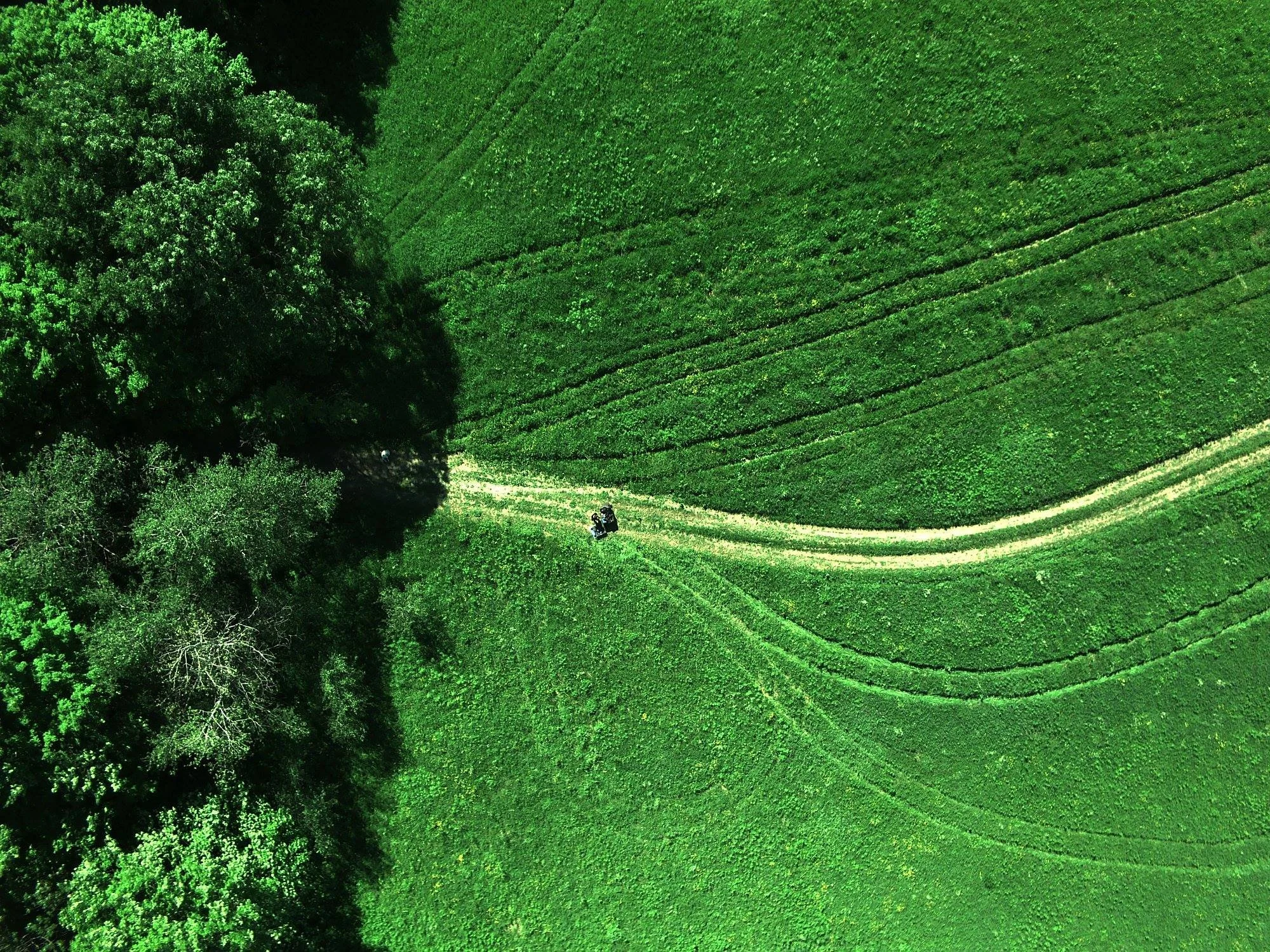
The goal of this project was to collect aerial images of Bruce Power supported projects where environmental protection and restoration actions have happened and process those images into science-backed communications about the value of the services those ecosystems provided.

This was a very new application for technology that focused on using current technology - Unmanned Aerial Vehicles (drones) and software (Geographic Information Systems and analysis software) - to help communicate the return on investment from restored and protect land. This technology presented images in a way that made it easier to understand what our land was trying to tell us.
D3 Braiding knowledge Project, Northern Ontario, Canada
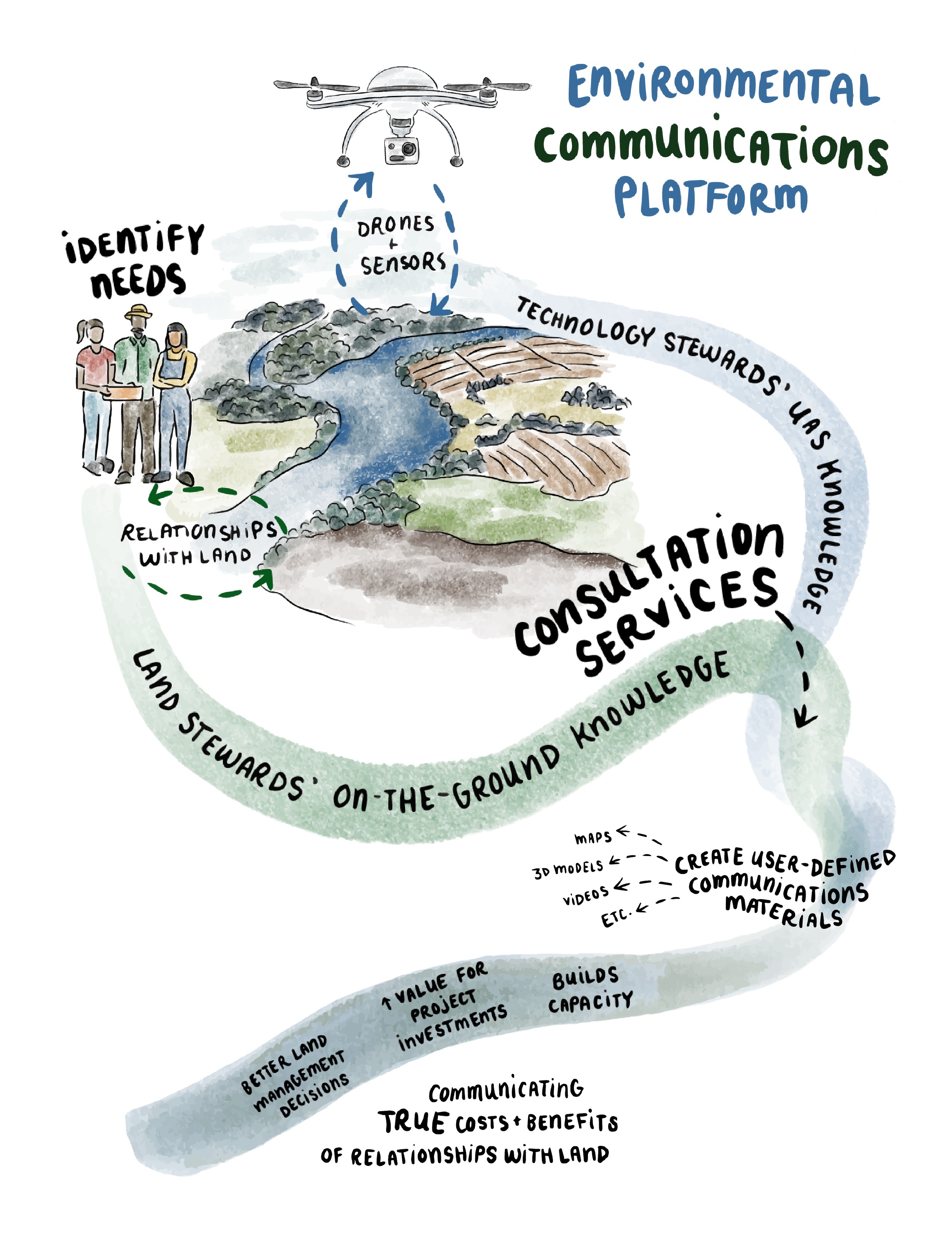
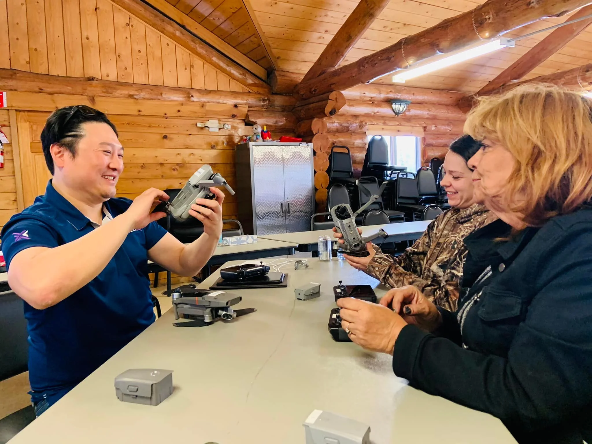
This project focused on braiding knowledge in a way that would create an environmental communications process for communicating the unique relationships and value of Ecosystem Services for Farmers and Aniishnaabe using drones. Called the D3 process for its use of Drones, Data and Deep communications, this process became a standard operating procedure for many.

seasonal services
SEE OUR boots on the ground AT WORK
Fairy lake restoration project, southampton ON, Canada
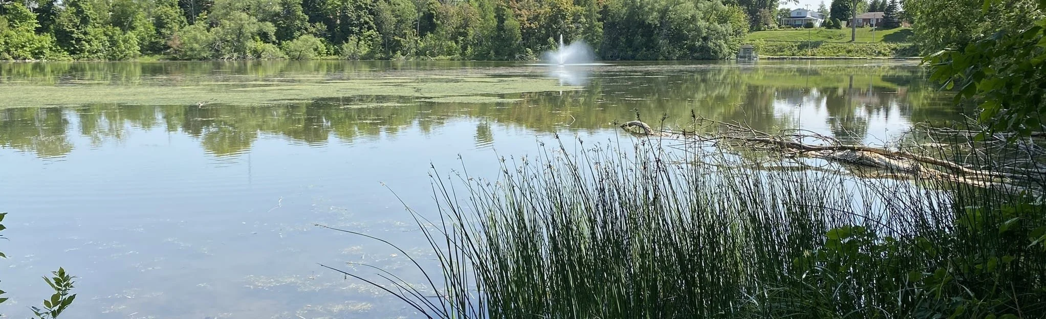
Ecological management planning for the lake
Wildlife and SAR Habitat creation, including bird, bat, and duck boxes (made by local wood crafter)
Installation of Biofiltration area for stormwater drainage
Installation of Mycofiltration for initial explorations of Biofiltration
Stream Clearing
Replanting disturbed areas with native plants
Thanks to the support of SauGreen for the Environment, Green Feet was able to work alongside 8 different organizations to assist with a number of activities designed to restore the health of Fairy lake. This included:
analog forestry, Guantanamo, Cuba
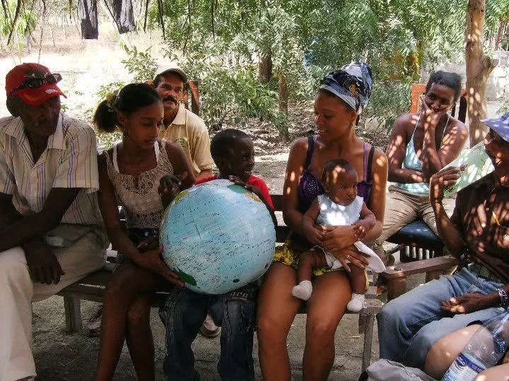
The Falls Brook Center is a Sustainability Education Center Located in Woodstock, NB. A partnership was formed between the FBC and the "Instituto de Investigaciones Forestales" (Forestry Research Institute) to implement Analog Forestry, a method of reforesting using a diversity of plants that provide foods, medicines, pollination services and more on 14 farms in Guantanamo Cuba.
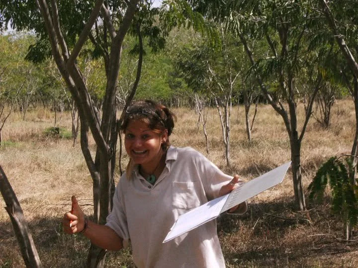
Green Feet Owner worked with this program in part to continue the Analog Forestry Monitoring and Maintenance, and help to facilitate Community engagement and education sessions over the course of 8 months.
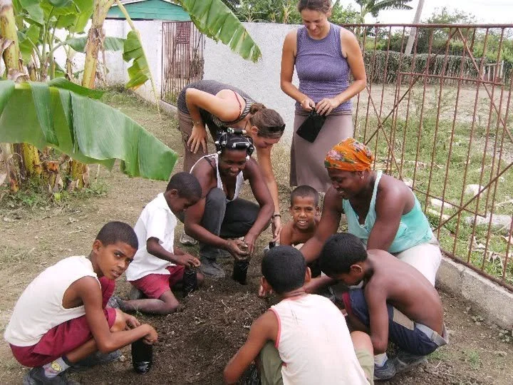
On these 14 farms, nearly 40 different species were used to help restore areas of farmland that had been over farmed from Sugar Cane plantations and contaminated with saltwater from the saltwater of the ocean being soaked into the ground through osmosis in groundwater systems.
Get In Touch
If you're interested in working with us, complete the form with a few details about your project. We'll review your message and get back to you as soon as we can.